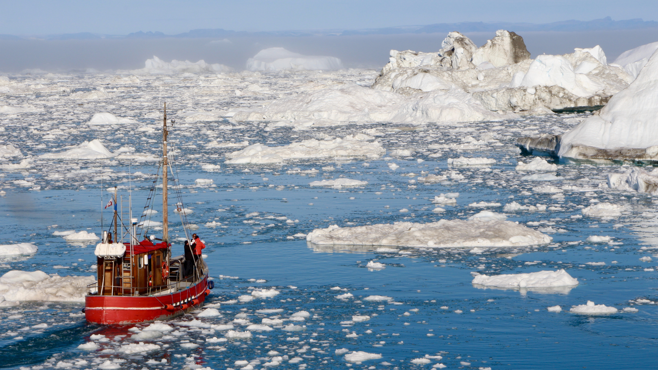
Use maps, satellite images, photographs, and other representations to explain relationships between the locations of places and regions, and changes in their environmental characteristics.
D2.Geo.2.6-8
Recent D2.Geo.2.6-8 Lesson Plans & Resources
More D2.Geo.2.6-8 Resources
Looking for more D2.Geo.2.6-8 lesson plans and resources? Search all available resources on this topic.


