

![Preview of Crib_Maps[1].pdf - page 1](/system/files/file_preview/295531/1.jpg)
About This Lesson
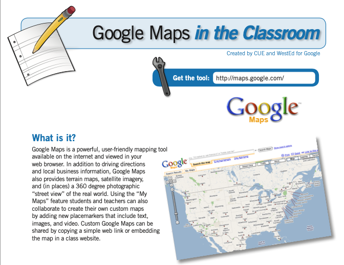
Google Maps is a powerful, user-friendly mapping tool
available on the internet and viewed in your
web browser. In addition to driving directions
and local business information, Google Maps
also provides terrain maps, satellite imagery,
and (in places) a 360 degree photographic
“street view” of the real world. Using the “My
Maps” feature students and teachers can also
collaborate to create their own custom maps
by adding new placemarkers that include text,
images, and video. Custom Google Maps can be
shared by copying a simple web link or embedding
the map in a class website.


This gives some basic information and some ideas about using Google Maps in the classroom. It could be good for a teacher who doesn't know about Google Maps and wants a basic introduction.