World Rivers
beta
EdBrAIn It
EdBrAIn uses AI to customize lesson resources for your students’ needs.

World Rivers

Share

Share On Facebook
Share On Twitter
Share On Pinterest
Share On LinkedIn
Email
Grade Level Grades 3-5
Standards Alignment
Common Core State Standards

About This Lesson

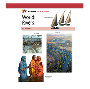
World Rivers prepares students to use maps and globes to locate the continents, major oceans, and important rivers of the world. Students explore the benefits and dangers of rivers. They learn why ancient civilizations and modern cities were established near rivers, and how rivers are often associated with major historical events. Rivers studied include the Ganges, Indus, Yellow (Huang He), Yangtze (Chang Jiang), Tigris, Euphrates, Nile, Niger, Congo, Amazon, Orinoco, Mississippi, Mackenzie, Yukon, Murray, Darling, Volga, Danube, and Rhine.

This unit includes a Student Reader and Teacher Guide, providing Guided Reading Supports and the following Additional Activities: Cool Facts About World Rivers activity pages; guidance in using a world atlas; domain vocabulary activity pages; a nonfiction excerpt of Mark Twain’s “Old Times on the Mississippi”; and a Unit Assessment.

Standards

Ask and answer questions to demonstrate understanding of a text, referring explicitly to the text as the basis for the answers.
Determine the main idea of a text; recount the key details and explain how they support the main idea.
Describe the relationship between a series of historical events, scientific ideas or concepts, or steps in technical procedures in a text, using language that pertains to time, sequence, and cause/effect.
Determine the meaning of general academic and domain-specific words and phrases in a text relevant to a grade 3 topic or subject area.
Use information gained from illustrations (e.g., maps, photographs) and the words in a text to demonstrate understanding of the text (e.g., where, when, why, and how key events occur).

Reviews

Write A Review

Be the first to submit a review!

Advertisement